A bus belonging to Rainier Mountaneering Inc. stopped right then with more than a dozen climbers going along the same hike. The trail begins through mounds of soft snow with areas that have exposed paved pathways. The snow was soft and hence although a bit slippery allowed one to get a grip even after a slight slip. The first 0.82 miles took one to Alta Vista point which is a rigde that offers views of the twin peaks to the South. A brief halt allowed me to get some rest and click a few photographs.


 A hiking trail then takes one towards the Skyline trail but for some reason I decided to follow two individuals who went straight up towards the ridge. A few climbers with snow boots, crampons, ski poles took the hiking trail and seemed to have been stuck in sticky area a short distance away. The path straight up the ridge seemed pretty steep, which under normal circumstances I could have hiked to, with ease. The snow however made things difficult and it took some doing to get to the top of the ridge.
The next mile to Glacier Vista (located at 6336 ft) was pretty easy except for a few patches of snow. 7 out of 10 hikers were all geared up to go beyond Panorama Point to higher areas through Muir Snowfield that stretches from 7000 ft to 10000 ft. It is a permanent field of snow, ice and rock outcrops. In case the weather deteriorates crossing the Muir snowfield can be disastrous. In case of fog or clouds one is advised to desend back to Paradise rather than continue to head towards the top of Mount Rainier. On crossing the snowfield one gets to Camp Muir that can accommodate a substantial number of hikers for an overnight halt. The first clear view of Mount Adams, Mount Hood and Mount St Helens (the one that erupted recently in 2006) was seen from this point. The top of Mount Rainier appeared closer but is was still amazing 8000 ft higher up.


Panorama Point is 500 t higher and just about 0.68 mils away from Glacier Vista. The area for some reason was devoid of snow with patches of open land and a few meadows around it. There was an open area with rocks and an ocassional bench allowing hikers to rest and have a snack. I had left my snack back at the hotel. I was carrying my bulky camcorder, the digital camera, a warm dress (that was actually not required despite the snow) and a bottle of water.


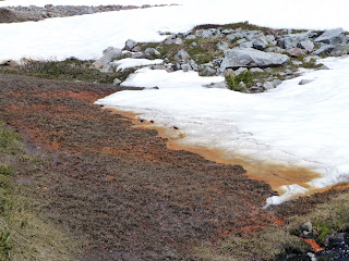
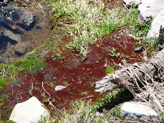
The Skyline trail then continues over a small hill 300 ft higher up from where one can proceed higher to the Muir snowfield. The high Skyline trail however traverses along that height across the mountain and slowly descends long the mountainside. The area had few patches where the snow had melted away exposing the first few patches of meadows. Along the way was a sno covered area but fortunately the trail passed higher over that area and descended slowly along the hillside.


No comments:
Post a Comment